You can control the density of points of interest (POIs) on the map. POIs, which include parks, schools, and recreation, appear on the map with their corresponding icons by default.
If you want to control the visibility of specific map features, including POIs, seeFilter which map features to display.
Control POI density
You can adjust the density to control how many points of interest are displayed on a map.
Zoom in on the map enough to see points of interest shown.
InMap features,select the gear icon
 to open theSettingspane.
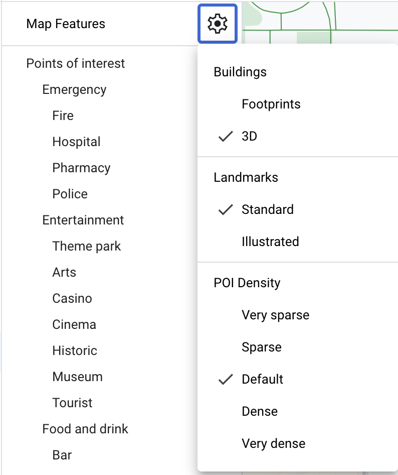
Select the density you want. TheSettingspane closes and you should see the density of points of interest adjust on the map.