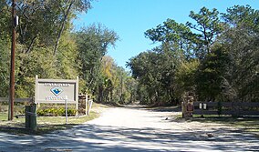
Faver-Dykes State Park
Appearance
| Faver-Dykes State Park | |
|---|---|
IUCN categoryIV (habitat/species management area) | |
 | |
| Location | St. Johns County, Florida,United States |
| Nearest city | St. Augustine, Florida |
| Coordinates | 29°40′34″N81°14′53″W/ 29.67611°N 81.24806°W |
| Established | 1950 |
| Governing body | Florida Department of Environmental Protection |
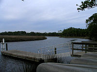
Faver-Dykes State Parkis aFlorida State Parklocated 15 miles south ofSt. Augustine,near the intersection ofI-95andUS 1,and bordering Pellicer Creek, a designated state canoe trail. Activities include fishing, picnicking, boating, canoeing, camping and wildlife viewing.
Among the wildlife of the park arewhite-tailed deer,bobcats,andriver otters.There are many birds in the park, includingbald eagles,falcons,andhawks,as well asegrets,wood storks,white ibis,wild turkeys,andherons.
Amenities and hours
[edit]Amenities include a full-facility campground, primitive youth campground, a boat ramp, two 1/2 mile loop nature trails, and two covered pavilions. Florida state parks are open between 8 a.m. and sundown every day of the year (including holidays).
Gallery
[edit]Nearby Princess Place Preserve, andAdirondack-style hunting camp in Florida
External links
[edit]


