Loky River
Appearance
| Loky | |
|---|---|
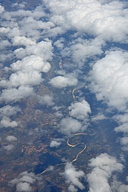
 Aerial photo of lower section | |
 Map of Malagasy rivers (Loky flows from the northern part to the eastern coast). | |
| Location | |
| Country | Madagascar |
| Region | Sava |
| Physical characteristics | |
| Source | |
| • location | Sava,Madagascar |
| Mouth | |
• location | SavaIndian Ocean |
• coordinates | 12°47′19″S49°39′47″E/ 12.788718°S 49.663046°E |
| Length | 80[1]km (50 mi) |
TheLoky River,also known as the Lokia River, is located in northernMadagascar.It drains in the north-eastern coast, into theIndian Oceanand forms the natural border betweenDianaandSava Region.
It is crossed by theRN 5anearAnivorano du Nord.Its mouth is situated inLokia Bay.
