Quebec Route 249
Appearance
 | ||||
| Route information | ||||
| Maintained byTransports Québec | ||||
| Length | 68.8 km[1](42.8 mi) | |||
| Major junctions | ||||
| South end | ||||
| North end | ||||
| Location | ||||
| Country | Canada | |||
| Province | Quebec | |||
| Major cities | Magog, Sherbrooke, Val-des-Sources | |||
| Highway system | ||||
| ||||
Route 249is a two-lane north/south highway on the south shore of theSaint Lawrence RiverinQuebec,Canada.Its northern terminus is inVal-des-Sourcesat the junction ofRoute 255,and the southern terminus is at the junction ofRoute 112close toMagog.
Municipalities along Route 249
[edit]- Magog
- Sherbrooke
- Saint-Denis-de-Brompton
- Saint-François-Xavier-de-Brompton, Quebec
- Windsor
- Val-Joli
- Saint-Claude
- Saint-Georges-de-Windsor
- Val-des-Sources
-
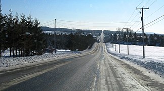
Rhéaume road south of Saint-Denis-de-Brompton.
-
Route 249 shares part of its route withroute 222.
-
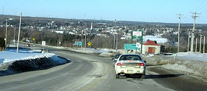
Principale street in Saint-François-Xavier-de-Brompton.
-
Route 249 descends in the valley ofSaint-François River,near Windsor.
-
Bridge over the Saint-François in Windsor.
See also
[edit]References
[edit]- ^Ministère des transports, "Distances routières", page 88, Les Publications du Québec, 2005
External links
[edit]- Route 249on Google Maps
- Provincial Route Map (Courtesy of the Quebec Ministry of Transportation)(in French)


