Robregordo
Appearance
You can helpexpand this article with text translated fromthe corresponding articlein Spanish.(November 2014)Click [show] for important translation instructions.
|
Robregordo | |
|---|---|
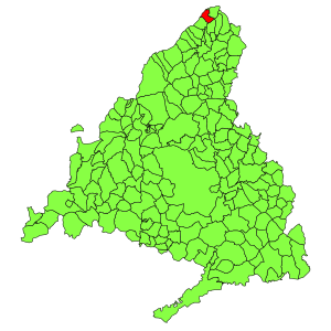
 Municipal location within the Community of Madrid. | |
| Coordinates:41°6′16″N3°35′42″W/ 41.10444°N 3.59500°W | |
| Country | |
| Autonomous community | Community of Madrid |
| Area | |
• Total | 6.96 sq mi (18.03 km2) |
| Elevation | 4,262 ft (1,299 m) |
| Population (2018)[1] | |
• Total | 48 |
| • Density | 6.9/sq mi (2.7/km2) |
| Time zone | UTC+1(CET) |
| • Summer (DST) | UTC+2(CEST) |
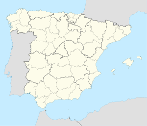
Robregordois amunicipalityof theCommunity of Madrid,Spain.
Public transport
[edit]The only way to arrive Robregordo are with the following bus lines:
Line 191.Madrid(Plaza de Castilla) -Buitrago del Lozoya
Line 191B. Buitrago del Lozoya -Somosierra
Until 2011 the village had a station named Robregordo-Somosierra (although it didn’t gave service to Somosierra), however, a landslide in the nearby Somosierra tunnel, added to the poor state of the infrastructure for years, caused the train service to be permanently suspended.
External links
[edit]
- ^Municipal Register of Spain 2018.National Statistics Institute.


