R483 road (Ireland)
Appearance
| R483 road | |
|---|---|
| Bóthar R483 | |
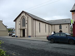
 St Mary's Church, Creegh, on the R483 | |
| Route information | |
| Length | 17.9 km (11.1 mi) |
| Location | |
| Country | Ireland |
| Primary destinations |
|
| Highway system | |
TheR483 roadis aregional roadinIrelandwhich links theN67 roadwithKilrushinCounty Clare.[1]The road passes through a number of villages, includingCreegh,andCooraclare.The road is 17.9 km (11.1 mi) long.
See also
[edit]References
[edit]- ^"Department of Transport, Tourism and Sport"(PDF).gov.ie.Retrieved22 July2020.

