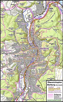
Map

Amapis an image of an area, usually of theEarthor part of theEarth.A map is different from an aerialphotographbecause it includesinterpretation.Many maps are called "charts" such asstar chartsandnautical charts.Some maps are of distant worlds. Before the late 20th century almost all maps were onpaper.Today, many maps are digital, and can be seen on smartphones and computers. However, paper maps are still used.
The word "map" can also be used to talk about achartordrawingthat showsrelationshipsbetween ideas, people, events, or anything else you can think about. This is whywebdevelopers call a list ofweb pageson aweb sitea site map.

People who make maps arecartographers.
Many maps today are made usingGIScomputer systems. These aredatabasesystems that are organized by location instead of named records.
If a map is on a piece of paper or acomputerscreen, it has to be projected. This is because theEarthis round and paper and screens are flat. There are a lot of ways that usemathematicsto makemap projections.The only kind of map of theEarththat is not projected is one drawn on a sphere. This is called aglobe.
