Texas
Texas | |
|---|---|
| State of Texas | |
| Nickname: The Lone Star State | |
| Motto: Friendship | |
| Anthem:"Texas, Our Texas" | |
 Map of the United States with Texas highlighted | |
| Country | United States |
| Before statehood | Republic of Texas |
| Admitted to the Union | December 29, 1845 (28th) |
| Capital | Austin |
| Largest city | Houston |
| Largest metroandurbanareas | Dallas–Fort Worth |
| Government | |
| •Governor | Greg Abbott(R) |
| •Lieutenant Governor | Dan Patrick(R) |
| Legislature | Texas Legislature |
| •Upper house | Senate |
| •Lower house | House of Representatives |
| Judiciary | Supreme Court of Texas(Civil) Texas Court of Criminal Appeals(Criminal) |
| U.S. senators | John Cornyn(R) Ted Cruz(R) |
| U.S. House delegation | 23 Republicans 13Democrats(list) |
| Area | |
| • Total | 268,596 sq mi (695,662 km2) |
| • Land | 261,232 sq mi (676,587 km2) |
| • Water | 7,365 sq mi (19,075 km2) 2.7% |
| • Rank | 2nd |
| Dimensions | |
| • Length | 801[1]mi (1,289 km) |
| • Width | 773[1]mi (1,244 km) |
| Elevation | 1,700 ft (520 m) |
| Highest elevation | 8,751 ft (2,667.4 m) |
| Lowest elevation | 0 ft (0 m) |
| Population (2022) | |
| • Total | 29,183,290[5] |
| • Rank | 2nd |
| • Density | 176/sq mi (67.9/km2) |
| • Rank | 23rd |
| •Median household income | $64,034[6] |
| • Income rank | 23rd |
| Demonym(s) | Texan Texian(archaic) Tejano(usually only used for Hispanics) |
| Language | |
| •Official language | No official language (seeLanguages spoken in Texas) |
| •Spoken language | PredominantlyEnglish; Spanishis spoken by a sizable minority[7] |
| Time zones | |
| Majority of state | UTC−06:00(Central) |
| • Summer (DST) | UTC−05:00(CDT) |
| El Paso,Hudspeth,and northwesternCulbersoncounties | UTC−07:00(Mountain) |
| • Summer (DST) | UTC−06:00(MDT) |
| USPS abbreviation | TX |
| ISO 3166 code | US-TX |
| Traditional abbreviation | Tex. |
| Latitude | 25°50′ N to 36°30′ N |
| Longitude | 93°31′ W to 106°39′ W |
| Website | texas |
| Texas state symbols | |
|---|---|
 | |
 | |
| Living insignia | |
| Bird | Northern mockingbird(Mimus polyglottos) |
| Fish | Guadalupe bass(Micropterus treculii) |
| Flower | Bluebonnet(Lupinusspp., namely Texas bluebonnet,L. texensis) |
| Insect | Monarch butterfly(Danaus plexippus) |
| Mammal | Texas longhorn,nine-banded armadillo(Dasypus novemcinctus) |
| Reptile | Texas horned lizard(Phrynosoma cornutum) |
| Tree | Pecan(Carya illinoinensis) |
| Inanimate insignia | |
| Food | Chili |
| Instrument | Guitar |
| Shell | Lightning whelk(Busycon perversum pulleyi) |
| Ship | USSTexas |
| Slogan | The Friendly State |
| Soil | Houston Black |
| Sport | Rodeo |
| Other | Molecule:Buckyball(For more, seearticle) |
| State route marker | |
 | |
| State quarter | |
 Released in 2004 | |
| Lists of United States state symbols | |
Texas(/ˈtɛksəs/,also locally/ˈtɛksɪz/American Spanish:[tejaz][8]), officially theState of Texas,is astatein the South Central Region of theUnited States.It is the second largest US state bytotal area(afterAlaska) with 268,596 sq mi (695,662 km2) andpopulation(afterCalifornia) with nearly 29 million people as of 2019. Its largest cities areHouston,Dallas,Fort Worth,San Antonio,El Paso,andAustin,thecapital city.
Texas became the 28th state in the United States in 1845. Texas has been controlled by Spain, France, theConfederate States of America,and Mexico. It declared its independence from Mexico in 1836. It was its own country, theRepublic of Texas,for 9 years (1836–1845). It is called the "Lone Star State" and its flag has one star.
There are manytourist attractionsin Texas. Fort Worth is known for itsstockyards.Amarillois known for the cattle business and stockyards. In Dallas, industrialtechnology companiesincludingTexas Instrumentsand EDS have their home offices. San Antonio hasThe Alamo.Houstonhas theJohnson Space Center.Austin has theUniversity of Texas at Austin.Texas A&M Universityin College Station,Texas Tech UniversityinLubbock,Baylor UniversityinWacoand theUniversity of North TexasinDentonare other important universities in the state.
Name
[change|change source]The state's name derives from táyshay, a word in the Caddoan language of the Hasinai (aNative Americantribe), which means "allies" or "friends."
History
[change|change source]Texas was first explored in 1528 by Spanish explorers on accident (they wereshipwrecked on the coast). It did not become a colony until 1685, when France claimed it. In response, Spain started a rival colony in 1691 by setting up a religious outpost in the eastern part of Texas. Spain did not come back to Texas until 1716 to protect its colonies in the west from French forces. Two years later,San Antoniowas founded.
The pressure between the Spaniards and Native Americans in East Texas stopped many settlers from coming to Texas. To stop the violence and the increasing Native American raids, Spain called a truce between many tribes in 1745 and 1789.
Tensions rose in Texas after the United States bought a large amount of nearby land from France in 1803. This was theLouisiana Purchase.People began wondering whether Spain or the United States could claim Texas.
Mexico won theMexican War of Independencein 1821. Mexico, including Texas, was free from theSpanish Empire.Americans and other settlers came into Texas when Mexico allowed non-Spanish settlers to settle here. After many settlers came to Texas, Mexico started taxing non-citizens. This outraged many settlers. Many were already angry because Mexico banned slavery.
Politics in Mexico became violent and several Mexican States declared independence. On March 2, 1836, Texas declared independence from Mexico and soon they were at war. Texas won, but Mexico refused to recognize Texas as an independent sovereign Republic. Texas soon requested entry to the United States. Years later, in 1845, the US added Texas as a state,[9]and Mexico broke off diplomatic relations. Mexico resisted offers by the U.S. to buy land extending from Texas to the Pacific Ocean. In 1846, a dispute over the border between Texas and Mexico resulted in armed conflict, and theMexican-American Warbegan. The United States won the war, and by theTreaty of Guadalupe-Hidalgo, in 1848won lands that later formed the states ofCalifornia,Arizona,Nevada,Utah,New Mexico,southwesternColorado,and southwesternWyoming.Mexico received 15 million dollars and gave up its claims to Texas.
AfterAbraham Lincolnwas elected President of the United States, Texas joined the newly formedConfederate States of Americain 1861 and fought in theAmerican Civil Warin an attempt to become independent from the United States. The Confederates lost to the Union (the United States) in 1865. Texas was restored to full representation in Congress on March 30, 1870.
On January 10, 1901,oilwas found in Texas, leading to the founding of a richer economy. During a time when the economy was poor, many people left Texas. Texas did not regain the population it had lost until the 1950s and 60s. In recent years, Texas has become a hub for technology and computers.
Geography
[change|change source]Texas is the second biggest state in the Union (after Alaska) and is bigger than everyEuropean countryexcept Russia. It has mountains, forests, deserts, plains, and coasts. The largest river in Texas is theRio Grande,which forms the border between Mexico and the United States throughout south Texas. The highest mountain in Texas is Guadalupe Peak.
Most of Texas is in Central Time, butEl Pasoin Western Texas is in Mountain Time.[10]
Economy
[change|change source]Texas has the second largest economy in the United States after theeconomy of California.It had agross state productof US$1.887 trillion in 2019.[11]Texas was home to six of the top 50 companies on theFortune 500list in 2015 (third most after New York and California).[12]In 2017, Texas grossed more than US$264.5 billion a year in exports—more than the exports of California (US$172 billion) andNew York(US$77.9 billion) combined.[13][14][15]As a sovereign country, in 2016, Texas would be the 10th largest economy in the world bygross domestic product(GDP), ahead ofSouth KoreaandCanadaand behindBrazil.[16]
List of counties in Texas
[change|change source]| Counties | Seat | Image | Map |
|---|---|---|---|
| A | |||
| Anderson | Palestine |  |

|
| Andrews | Andrews | 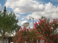 |

|
| Angelina | Lufkin | 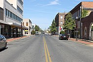 |

|
| Aransas | Rockport | 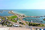 |
|
| Archer | Archer City |  |

|
| Armstrong | Claude |  |
|
| Austin | Bellville |  |

|
| B | |||
| Bailey | Muleshoe | 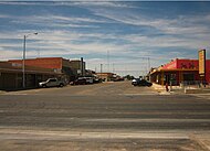 |
|
| Bandera | Bandera |  |
|
| Bastrop | Bastrop | 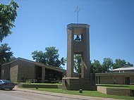 |

|
| Baylor | Seymour | 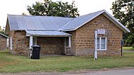 |

|
| Bee | Beeville |  |

|
| Bell | Belton | 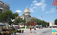 |

|
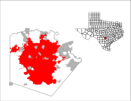
| Bexar | San Antonio |  |
|
| Blanco | Johnson City |  |

|
| Borden | Gail | 
| |
| Bosque | Meridian |  |

|
| Bowie | New Boston | 
| |
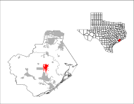
| Brazoria | Angleton |  |
|
| Brewster | Alpine |  |

|
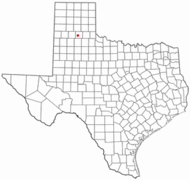
| Briscoe | Silverton |  |
|
| Brooks | Falfurrias |  |

|
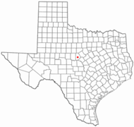
| Brown | Brownwood |  |
|
| Burleson | Caldwell |  |

|
| Burnet | Burnet |  |
|
| C | |||
| Caldwell | Lockhart |  |

|
| Calhoun | Port Lavaca |  |
|
| Callahan | Baird |  |
|
| Cameron | Brownsville | 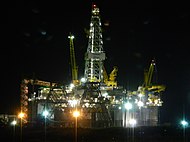 |

|
| Camp | Pittsburg | 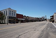 |

|
| Carson | Pandhandle |  |

|
| Cass | Linden |  |

|
| Castro | Dimmit |  |
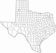
|
| Chambers | Anahauc |  |

|
| Cherokee | Rusk |  |
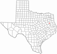
|
| Childress | Childress |  |

|
| Clay | Henrietta |  |

|
| Cochran | Morton | 
| |
| Coke | Robert Lee |  |

|
| Coleman | Coleman | 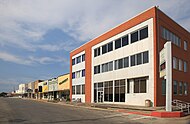 |

|
| Collin | McKinney |  |

|
| Collingsworth | Wellington |  |

|
| Colorado | Columbus |  |

|
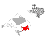
| Comal | New Braunfels |  |
|
| Comanche | Comanche | 
| |
| Concho | Paint Rock | 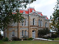 |

|
| Cooke | Gainesville |  |

|
| Coryell | Gatesville |  |

|
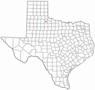
| Cottle | Paducah | 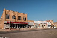 |
|
| Crance | Crane |  |

|
| Crockett | Ozona | 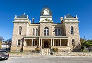 |

|
| Crosby | Crosbyton |  |

|
| Culberson | Van Horn |  |

|
| D | |||
| Dallam | Dalhart |  |

|
| Dallas | Dallas |  |

|
| Dawson | Lamesa |  |

|
| Deaf Smith | Hereford |  |

|
| Delta | Cooper |  |

|
| Denton | Denton |  |

|
| DeWitt | Cuero | 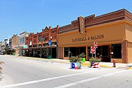 |

|
| Dickens | Dickens |  |
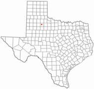
|
| Dimmit | Carrizo Springs |  |
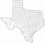
|
| Donley | Clarendon |  |

|
| Duval | San Diego |  |

|
| E | |||
| Eastland | Eastland | 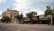 |

|
| Ector | Odessa |  |
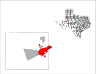
|
| Edwards | Rocksprings |  |

|
| Ellis | Waxahachie |  |

|
| El Paso | El Paso |  |

|
| Erath | Stephenville |  |

|
| F | |||
| Falls | Marlin | 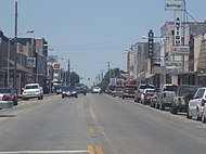 |

|
| Fannin | Bonham | 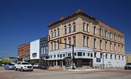 |

|
| Fayette | La Grange |  |

|
| Fisher | Roby |  |

|
| Floyd | Floydada | 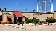 |
|
| Foard | Crowell |  |

|
| Fort Bend | Richmond |  |

|
| Franklin | Mt. Vernon | 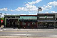 |

|
| Freestone | Fairfield | 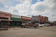 |

|
| Frio | Pearsall |  |

|
| G | |||
| Gaines | Seminole |  |
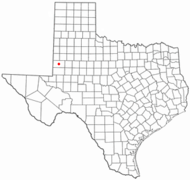
|
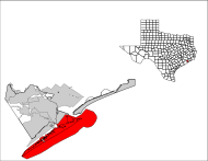
| Galveston | Galveston |  |
|
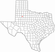
| Garza | Post |  |
|
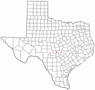
| Gillespie | Fredericksburg |  |
|
| Glasscock | Garden City | 
| |
| Goliad | Goliad |  |

|
| Gonzales | Gonzales | 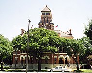 |
|
| Gray | Pampa |  |

|
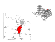
| Grayson | Sherman |  |
|
| Gregg | Longview | 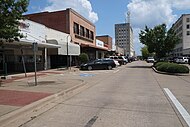 |

|
| Grimes | Anderson |  |
|
| Guadalupe | Seguin |  |
|
| H | |||
| Hale | Plainview |  |

|
| Hall | Memphis |  |

|
| Hamilton | Hamilton |  |

|
| Hansford | Spearman |  |
|
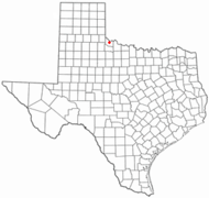
| Hardeman | Quanah | 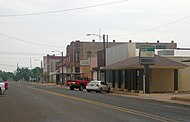 |
|
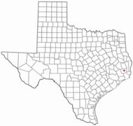
| Hardin | Kountze |  |
|
| Harris | Houston | 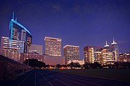 |

|
| Harrison | Marshall |  |

|
| Hartley | Channing |  |

|
| Haskell | Haskell |  |

|
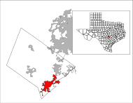
| Hays | San Marcos |  |
|
| Hemphill | Canadian |  |

|
| Henderson | Athens | 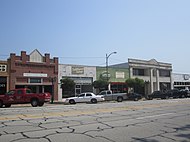 |

|
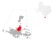
| Hidalgo | Edinburg | 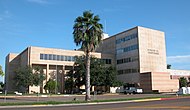 |
|
| Hill | Hillsboro |  |
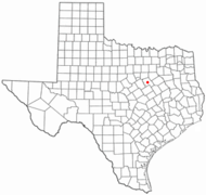
|
| Hockley | Levelland |  |
|
| Hood | Granbury |  |

|
| Hopkins | Sulphur Springs | 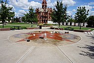 |

|
| Houston | Crockett |  |

|
| Howard | Big Spring |  |
|
| Hudspeth | Sierra Blanca |  |

|
| Hunt | Greenville |  |

|
| Hutchinson | Stinnett |  |

|
| I | |||
| Irion | Mertzon | 
| |
| J | |||
| Jack | Jacksboro | 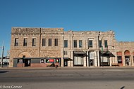 |
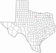
|
| Jackson | Edna | 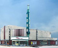 |
|
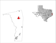
| Jasper | Jasper |  |
|
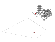
| Jeff | Fort Davis |  |
|
| Jefferson | Beaumont |  |

|
| Jim Hogg | Hebbronville |  |

|
| Jim Wells | Alice | 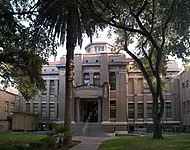 |

|
| Johnson | Cleburne |  |

|
| Jones | Anson |  |

|
| K | |||
| Karnes | Karnes City |  |
|
| Kaufman | Kaufman |  |

|
| Kendall | Boerne |  |
|
| Kenedy | Sarita |  |
190px |
| Kent | Jayton |  |
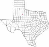
|
| Kerr | Kerrville |  |
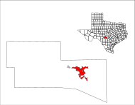
|
| Kimble | Junction | 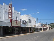 |

|
| King | Guthrie |  |
|
| Kinney | Brackettville | 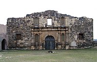 |
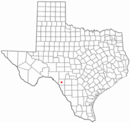
|
| Kleberg | Kingsville | 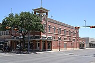 |

|
| Knox | Benjamin |  |

|
| L | |||
| Lamar | Paris | 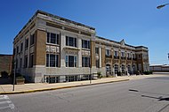 |

|
| Lamb | Littlefield |  |
|
| Lampasas | Lampasas |  |
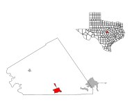
|
| La Salle | Cotulla |  |

|
| Lavaca | Hallettsville |  |

|
| Lee | Giddings |  |

|
| Leon | Centerville |  |
|
| Liberty | Liberty | ||
| Limestone | Groesbeck |  |

|
| Lipscomb | Lipscomb |  |

|
| Live Oak | George West |  |
|
| Llano | Llano | 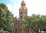 |
|
| Loving | Mentone |  |
|
| Lubbock | Lubbock | 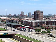
| |
| Lynn | Tahoka | 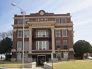 |

|
| M | |||
| McCulloch | Brady |  |

|
| McLennan | Waco |  |
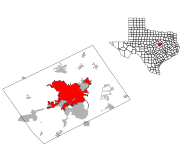
|
| McMullen | Tilden |  |
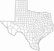
|
| Madison | Madisonville |  |

|
| Marion | Jefferson |  |

|
| Martin | Stanton |  |
|
| Mason | Mason | 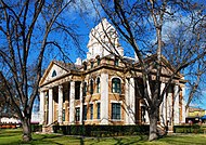 |
|
| Matagorda | Bay City | 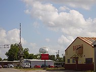 |

|
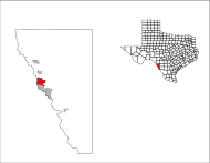
| Maverick | Eagle Pass |  |
|
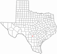
| Medina | Hondo | 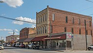 |
|
| Menard | Menard |  |

|
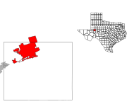
| Midland | Midland |  |
|
| Milam | Cameroon | 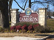 |

|
| Mills | Goldthwaite | 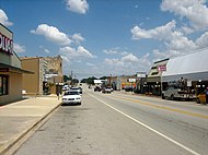 |

|
| Mitchell | Colorado City |  |
|
| Montague | Montague |  |
|
| Montgomery | Conroe | 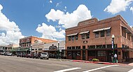 |

|
| Moore | Dumas | 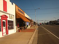 |

|
| Morris | Daingerfield |  |
|
| Motley | Matador |  |

|
| N | |||
| Nacogdoches | Nacogdoches |  |

|
| Navarro | Corsicana |  |

|
| Newton | Newton |  |

|
| Nolan | Sweetwater |  |

|
| Nueces | Corpus Christi | 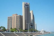 |

|
| O | |||
| Ochiltree | Perryton |  |
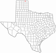
|
| Oldham | Vega |  |

|
| Orange | Orange | 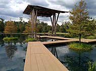 |

|
| P | |||
| Palo Pinto | Palo Pinto |  |
|
| Panola | Carthage |  |
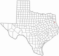
|
| Parker | Weatherford |  |

|
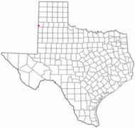
| Parmer | Farwell |  |
|
| Pecos | Fort Stockton |  |

|
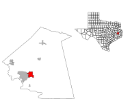
| Polk | Livingston |  |
|
| Potter | Amarillo |  |

|
| Presidio | Marfa |  |

|
| R | |||
| Rains | Emory |  |

|
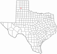
| Randall | Canyon |  |
|
| Reagan | Big Lake |  |

|
| Real | Leakey | 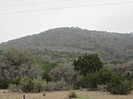 |

|
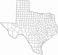
| Red | Clarksville |  |
|
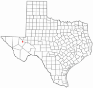
| Reeves | Pecos |  |
|
| Refugio | Refugio |  |

|
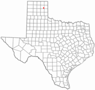
| Roberts | Miami |  |
|
| Robertson | Franklin | 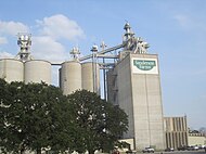 |

|
| Rockwall | Rockwall |  |

|
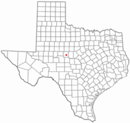
| Runnels | Ballinger |  |
|
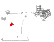
| Rusk | Henderson |  |
|
| S | |||
| Sabine | Hemphill |  |

|
| San Augustine | San Augustine |  |

|
| San Jacinto | Coldspring |  |

|
| San Patricio | Sinton |  |

|
| San Saba | San Saba |  |

|
| Schleicher | Eldorado |  |

|
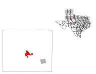
| Scurry | Snyder | 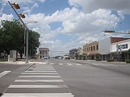 |
|
| Shackelford | Albany |  |
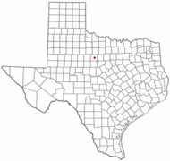
|
| Shelby | Center |  |
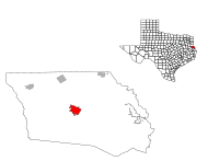
|
| Sherman | Stratford |  |
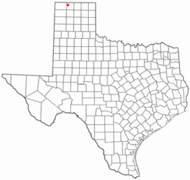
|
| Smith | Tyler |  |

|
| Sowervell | Glen Rose |  |

|
| Starr | Rio Grande |  |
|
| Stephens | Breckenridge |  |
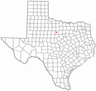
|
| Sterling | Sterling City |  |
|
| Stonewall | Aspermont |  |

|
| Sutton | Sonora | 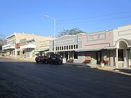 |
|
| Swisher | Tulia |  |

|
| T | |||
| Tarrant | Fort Worth | 
| |
| Taylor | Abilene | 
| |
| Terrell | Sanderson |  |

|
| Terry | Brownfield | 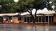 |

|
| Throckmorton | Throckmorton | 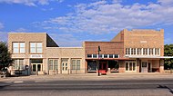 |

|
| Titus | Mt. Pleasant |  |

|
| Tom Green | San Angelo |  |

|
| Travis | Austin |  |

|
| Trinity | Groveton | 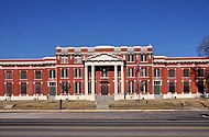 |

|
| Tyler | Woodville | 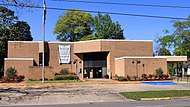 |

|
| U | |||
| Upshur | Gilmer | 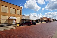 |

|
| Upton | Rankin |  |

|
| Uvalde | Uvalde |  |

|
| V | |||
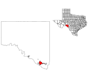
| Val Verde | Del Rio |  |
|
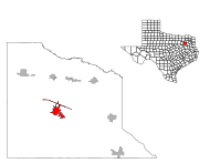
| Van Zandt | Canton |  |
|
| Victoria | Victoria | 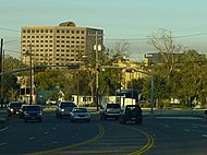 |

|
| W | |||
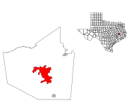
| Walker | Huntsville |  |
|
| Waller | Hempstead | 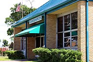 |

|
| Ward | Monahans | 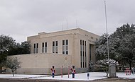 |

|
| Washington | Brenham |  |

|
| Webb | Laredo |  |
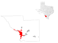
|
| Wharton | Wharton |  |
|
| Wheeler | Wheeler |  |

|
| Wichita | Wichita Falls |  |
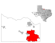
|
| Wilbarger | Vernon |  |

|
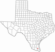
| Willacy | Raymondville |  |
|
| Williamson | Georgestown |  |

|
| Wilson | Floresville |  |

|
| Winkler | Kermit |  |

|
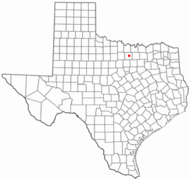
| Wise | Decatur |  |
|
| Wood | Quitman |  |

|
| Y | |||
| Yoakum | Plains |  |

|
| Young | Graham | 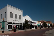 |

|
| Z | |||
| Zapata | Zapata | 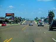 |

|
| Zavala | Crystal City | 
| |
Related pages
[change|change source]References
[change|change source]- ↑1.01.1Environment.Texas Almanac. 2008.RetrievedJune 28,2020.
- ↑"El Capitan".NGS data sheet.U.S. National Geodetic Survey.
- ↑3.03.1"Elevations and Distances in the United States".United States Geological Survey.2001. Archived fromthe originalon July 22, 2012.RetrievedOctober 24,2011.
- ↑Elevation adjusted toNorth American Vertical Datum of 1988.
- ↑Bureau, US Census (April 26, 2021)."2020 Census Apportionment Results".The United States Census Bureau.RetrievedApril 27,2021.
{{cite web}}:|last=has generic name (help) - ↑"Median Annual Household Income".The Henry J. Kaiser Family Foundation.2019.RetrievedJuly 10,2021.
- ↑Texas—Languages.MLA. Archived fromthe originalon May 22, 2011.RetrievedApril 15,2010.
- ↑Wells, John C.(1982).Accents of English.Volume 3: Beyond the British Isles (pp. i–xx, 467–674). Cambridge University Press. p. 551.ISBN0-52128541-0.
- ↑"Resolutions"(PDF).Twenty-ninth Congress.1845. Archived fromthe original(PDF)on May 25, 2017.RetrievedMay 16,2017.
- ↑"Mountain Time Zone Boundary".www.timetemperature.com.RetrievedApril 13,2018.
- ↑"Gross domestic product (GDP) by state (millions of current dollars)".Bureau of Economic Analysis.RetrievedJune 29,2017.
- ↑"FORTUNE 500 2011: States".CNN.
- ↑"State Exports for TEXAS".United States Census Bureau.RetrievedOctober 29,2013.
- ↑"State Exports for CALIFORNIA".United States Census Bureau.RetrievedOctober 29,2013.
- ↑"State Exports for NEW YORK".United States Census Bureau.RetrievedOctober 29,2013.
- ↑"In Opinion: If states were countries by economic output, California would be France".Newsweek.June 11, 2016.RetrievedJune 30,2017.


