Lexa, Arkansas
Appearance
Lexa, Arkansas | |
|---|---|
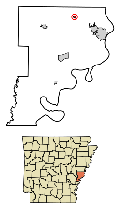
 Location of Lexa in Phillips County, Arkansas. | |
| Coordinates:34°35′51″N90°45′2″W/ 34.59750°N 90.75056°W | |
| Country | United States |
| State | Arkansas |
| County | Phillips |
| Area | |
| • Total | 0.41 sq mi (1.06 km2) |
| • Land | 0.41 sq mi (1.06 km2) |
| • Water | 0.00 sq mi (0.00 km2) |
| Elevation | 213 ft (65 m) |
| Population (2020) | |
| • Total | 207 |
| • Density | 504.88/sq mi (194.78/km2) |
| Time zone | UTC-6(Central (CST)) |
| • Summer (DST) | UTC-5(CDT) |
| ZIP code | 72355 |
| Area code | 870 |
| FIPS code | 05-39670 |
| GNISfeature ID | 0058063[2] |
Lexais atownin theUS stateofArkansas.
References
[change|change source]- ↑"2020 U.S. Gazetteer Files".United States Census Bureau.RetrievedOctober 29,2021.
- ↑2.02.1U.S. Geological Survey Geographic Names Information System: Lexa, Arkansas

